SCARCE AND INTERESTING!!
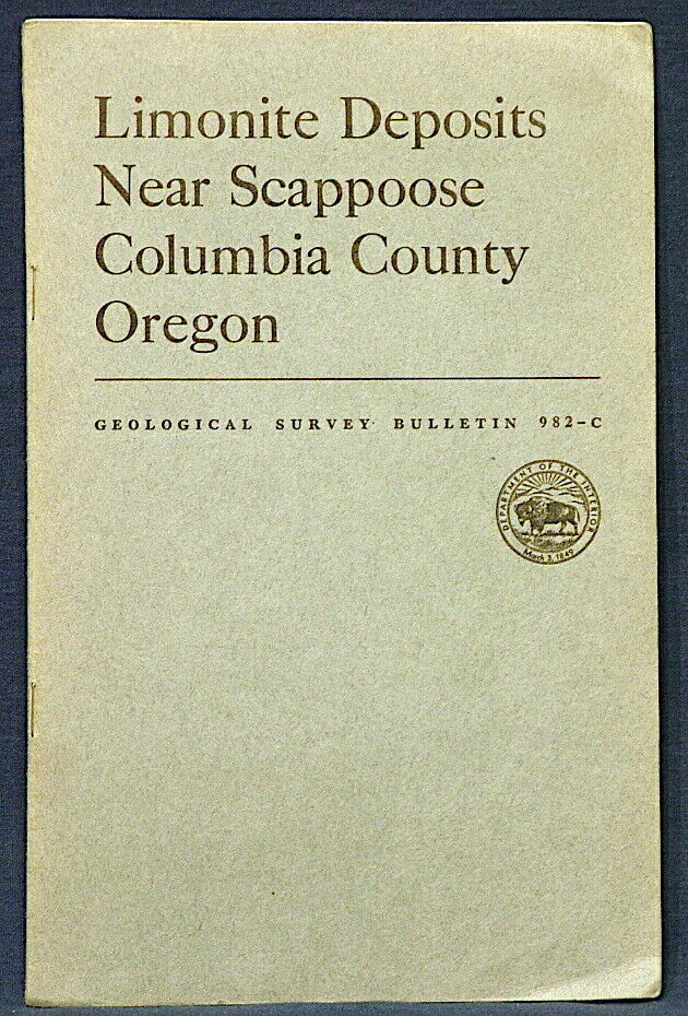
This is USGS Bulletin 982-C,
Limonite Deposits Near Scappoose, Columbia County, Oregon.
Published in 1953, this is a scarce report on these interesting deposits NW of Portland. This 20-page book comes complete with all five of the original maps in a pocket in the back of the book. It discusses It discusses interesting iron deposits formed from deeply weathered basalt layers that were later covered over by later basalts. I was surprised such deposits could be given consideration as ores of iron, but they were prospected for just that reason. The maps show the areas of the deposits, and some have multiple small prospect excavations along them. Since the limonite layers are like beds, the outcrop areas tend to ring the hills, much like coal beds would, so the prospects are arrayed along hillsides.
Deposits discussed include the following:
Coalport-Charcoal Iron
Ironcrest
Ladysmith
Hill 600
Bunker Hill
Alder Creek - Hematite
These are arrayed in an area generally west and northwest of Scappoose and St. Helens.
This is a much more interesting report than I expected. I had no idea about these deposits before reading this. The maps are pretty cool. This might be an interesting area to check out for minerals. A nice, vintage report for local historians, geologists, arm chair geologists, or mineral collectors.
Expert packing assured. The recent increase in postage rates was pretty big. As a result, Media Mail is now my default shipping method to keep shipping affordable. Please read the condition notes.
Visit my store,
Rockwiler Books and Minerals.
I will continue to add items to my store, so check back frequently.
®
ROCKWILER
ONLY ONE AVAILABLE!! GREAT MAP WITH ROCK ISLAND ON IT!!
This is Illinois Geological Survey Bulletin 38,
Geology and Mineral Resources of the Edgington and Milan Quadrangles, Illinois
.
Published in 1921, this 96-page book comes complete with the original full color
map that has Rock Island in the NE corner. You can see streets of the city. Rocks in this area range from Cambrian through Pennsylvanian, with younger formation covering those, mainly glacial deposits. Coal is one of the major mineral resources in the area, and there is a section devoted to it, but htere are other minor mineral resources as well. All the formations are described in detail. However the prize here is really the full color map, which has a very nice vintage look and would look amazing framed!
This is a great book that will give you a better understanding of this rich area. These state reports are often harder to find than USGS bulletins.
You’ll wait a long time before you see another of these on eBay!
Expert packing assured. Shipping weight is three pounds. The recent increase in postage rates was pretty big. As a result, Media Mail is now my default shipping method to keep shipping affordable.
Visit my store,
Rockwiler Books and Minerals.
I will continue to add items to my store, so check back frequently.
®
ROCKWILER
Specifics
- Condition: Light general wear includes includes some softening of the covers, corner bumping, spine wear at the corners and some fading/tanning of the covers. Maps are good with little wear. No internal marks. Binding tight. Pages clean. What you see is what you will get. A decent lightly worn example of this report.
- Item must be returned within: 30 Days
- Return shipping will be paid by: Seller
- All returns accepted: Returns Accepted
- Country/Region of Manufacture: United States
- Refund will be given as: Money Back
- Restocking Fee: No


